
Karon chosen as model area for Phuket landslide risk assessment
The Department of Mineral Resources will use Karon to assess landslide risks and develop measures to protect residents, tourists and critical infrastructure.
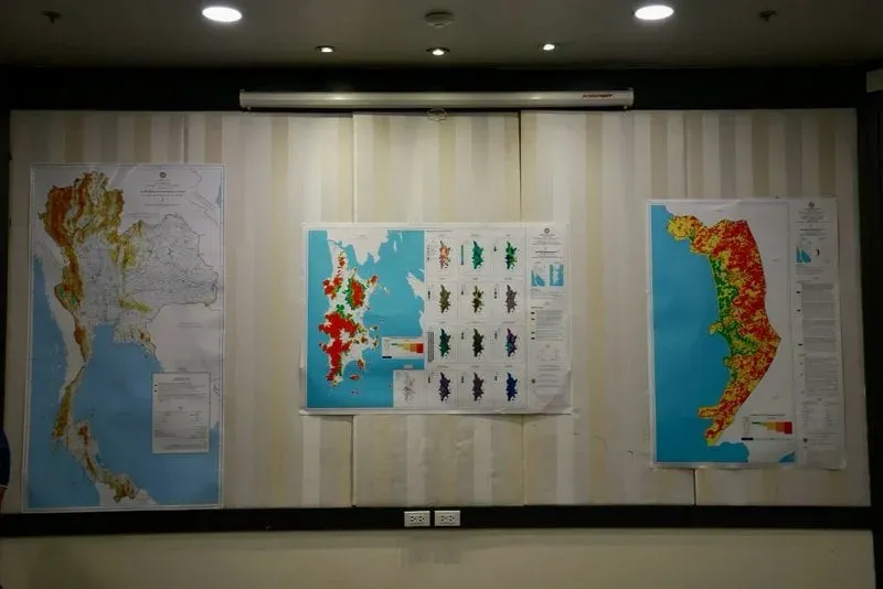
Tambon Karon in Muang district, Phuket, has been selected as a model area for assessing landslide risks and developing measures to protect residents, tourists and critical infrastructure. A major landslide in the area in August 2024 killed 13 people.
The Department of Mineral Resources is using Karon as a pilot site for a comprehensive system to prevent and mitigate landslides and flash floods, as part of efforts to strengthen Phuket’s disaster resilience and maintain its status as an international tourism destination.
Suwapak Imsamut, the department’s deputy director-general, said the 2024 disaster affected areas around Khao Nak Koet in Kamala and Karon, causing extensive loss of life and property and affecting confidence in Phuket’s tourism industry.
The department has been tasked with applying geological knowledge on the ground to help local authorities reduce risks and strengthen communities’ ability to respond to disasters. Supaporn Worakanok, director of the department’s Environmental Geology Division, said landslides in Thailand had become more frequent and severe, prompting the department to launch a risk assessment and prevention project for fiscal 2026.
Karon was selected because of its steep terrain and its location linking upland catchment areas with communities and major tourist attractions. Its weathered granite geology, covered by layers of sediment, makes it particularly vulnerable to landslides after prolonged heavy rain or intense rainfall over short periods.
Measures being implemented include landslide and flash-flood risk maps, monitoring and early-warning systems, and the designation of geological safety zones across Phuket to serve as evacuation areas for residents and tourists during emergencies. The department is also developing community networks for initial disaster response and installing equipment to detect ground movement in high-risk mountainous areas.
A detailed database and guidelines for preventing soil erosion and landslides are also being developed, especially for Karon. The high-resolution data is intended to support zoning and identify particularly high-risk areas, especially in economically important locations.